Enquire Now
Fill out the form below and we will get back to you as soon as we can.


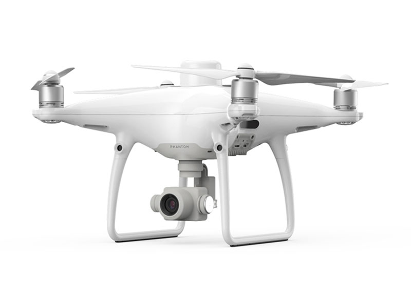
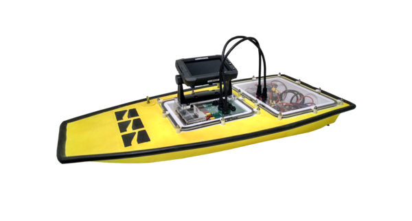
Aquatica can collect and interpret/map reliable and cost-effective bathymetry, sediment and water quality data and aerial imagery. Collection methods include on foot, kayak, boat and drone (aerial and boat). In particular, with our partner Platypus‘ autonomous robots (surface vessels/boats) and our aerial drone (Phantom 4 Pro), collection can be managed from the safety of the shore. Services range from the collection of data for your use through to full analysis and modelling of the data using a range of software packages.
We can also collect high resolution, ortho-corrected (i.e. orthomosaic) or 3D aerial imagery of any waterway, waterbody or water infrastructure using our DJI Phantom 4 Pro drone.
